How does RTK work? RTK stands for Real Time Kinematic. It means being able to determine an inch-accurate position of a moving object with GPS all the time. But that doesn't happen automatically. I tell in this article the answer to the question, “how does RTK work”?
Using RTK, one can measure continuously with centimeter accuracy with a GNSS receiver despite it being in motion. This requires corrections in addition to the satellite signals received by the GNSS receiver. These corrections come from a stationary GNSS receiver. This can be from a base station or from an RTK correction network. Using this data, the mobile GNSS receiver calculates an accurate position, which can be used for surveying.
To make everything clear on this topic, I will answer the following questions in this article:
- What is RTK?
- What is required for RTK?
- Why are RTK correction signals needed?
- How does RTK work?
- Can one get RTK with a rover base solution?
- How does an RTK correction network work?
How RTK works: the solution
You may not have the opportunity to read this entire article. Therefore, here is another opportunity to learn more about how RTK works.
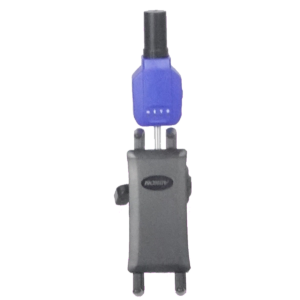
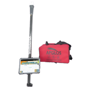
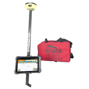
You can try a GPS measurement system through this website. To do so, look directly at this page. The Plus GPS measuring system is in fact a GPS rover and it works with RTK.
You can request a demonstration of one of our GPS surveying systems on the same page. At this demonstration you can then also ask specific questions, such as “How does RTK work?” and of course questions on other topics related to GPS surveying.
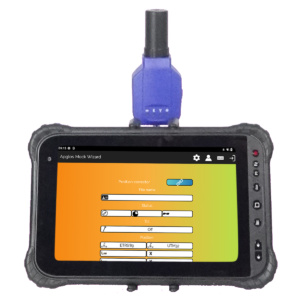
If you do not have time for a demonstration or just want to try the best software for this GPS receiver that is possible. Apglos Survey Wizard is the easiest software to perform GPS measurements with this GPS receiver or any other GPS receiver. You can download it for free from the Google Play Store.
The surveying app Apglos Survey Wizard has full functionality with your Android device's GPS. So you can fully test this app and it is free.
Of course, the accuracy of a GPS rover, is better than that of standard Android devices. So should you want to test with an accurate system, check out this page.
What is RTK?
RTK is a familiar term in GPS surveying. The term RTK means Real Time Kinematic. That just doesn't say much. So then what does RTK mean in normal Dutch? That's a good question.
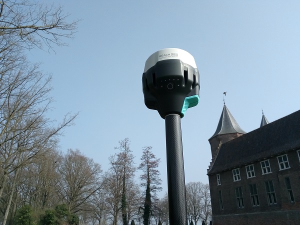
And the answer is this. RTK is the level of accuracy of GPS measurements, where the deviation of the measured position does not exceed a few (0-3) centimeters. At the same time, this is the highest accuracy, which can be achieved with GPS measurements at this time.
When you measure with GPS, you actually always want to measure with RTK. There are some exceptions. But that's why an RTK accuracy protection is built into Apglos Survey Wizard, of our GPS measurement systems. By default, you cannot measure points without an RTK fix.
This ensures that you only measure points with the highest accuracy.
What is required for RTK?
Achieving an RTK fix requires a number of things. With a phone, for example, you will never be able to achieve this accuracy.
Therefore, an external GNSS receiver is needed. This external GNSS receiver can be compared to your phone's GPS receiver. But this GNSS receiver has a larger antenna. And this GNSS receiver has a different calculation module.
To calculate an RTK, the external GNSS receiver must receive satellite signals. However, that is not enough. To calculate an RTK fix, correction signals must also be received. These come from a stationary GNSS receiver.
The calculation module in the GNSS receiver then calculates an exact position using the received satellite signals and the received correction signals.
Why are RTK correction signals needed?
GPS navigation satellites fly at about 20,000 km above the Earth's surface. The signals, which they emit must pass through the atmosphere. The Earth's atmosphere is not always and everywhere the same. Because of this, the speed of the satellite signal can vary. And that is an important factor in determining the distance between the navigation satellite and the GPS receiver.
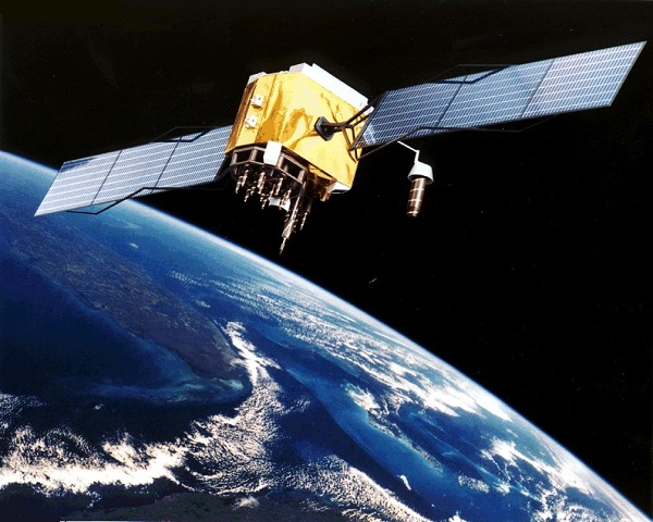
Since the satellite signal speed is a variable, in order to accurately measure it, it must be compared to the satellite signal speed to a fixed point on the Earth's surface.
How does RTK work?
Since the satellite signal indicates the position of the satellite and the time the signal was transmitted, when the position of a stationary GNSS receiver is known, the actual velocity of the satellite signal through the atmosphere can be determined.
Each satellite signal can have a different deviation. This is because they pass through a different part of the atmosphere. The stationary GNSS receiver determines from each satellite it receives signals from what the deviation in speed of the signal is.
This data is sent to the GNSS receiver, of the person who is surveying. This GNSS receiver filters all correction data. It will not use correction data for satellites, which it does not receive itself.
So only when the GNSS receiver receives enough satellite signals and also receives the corrections from these satellite signals, then the calculation module on the GNSS receiver can determine a position with an RTK fix.
The correction signals can be sent to a GNSS receiver in different ways. In the Netherlands and Belgium, the most common method is the RTK correction network. Here the correction data can be retrieved via the Internet.
Another solution is via a rover-based solution.
Can one get RTK with a rover base solution?
With a rover-based solution, the first step is to set up a base station. This base station is nothing more than an external GNSS receiver set up on a tripod in the field. After the base station is set up, it should not be moved.
The base station's external GNSS receiver continuously receives satellite signals to determine its position. And as it repeatedly determines its position over a longer period of time, its positioning becomes increasingly accurate.
In time, the position is so accurate that the base station's GNSS receiver is precise, allowing it to determine corrections for the received satellite signals.
The base station then sends these correction signals via a radio signal to the rover. A rover is nothing but the GNSS receiver, which someone uses to determine position for surveying.
How does an RTK correction network work?
Dozens of stationary GNSS receivers are distributed in the Netherlands, as well as in Belgium. These receive satellite signals continuously. And they are at a fixed location registered by the Land Registry.
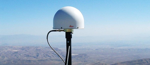
All these stationary GNSS receivers form an RTK correction network. This network can be accessed via the Internet, according to the so-called NTRIP.
Using an IP address, port, username, password and data stream, you can access this network.
When there is a connection to the network, the remote GNSS receiver sends its position to the RTK correction network. The network determines which stationary GNSS receiver is closest.
This stationary GNSS receiver will probably receive most of the satellites that the rover also receives. And in addition, the deviation of the satellite signal speed through the atmosphere that this stationary GNSS receiver determines will most closely match the deviation of the satellite signal at the rover.
The correction network then also sends correction data from this stationary GNSS receiver to the rover.
With Apglos Survey Wizard, the surveying software with our GPS systems, it's even easier because there you don't even need an IP address, port, username, password and data stream to access the RTK correction network.
Final conclusion on How does RTK work
This was a whole article on how does RTK work. There is a lot to report on this topic of GPS surveying. So we hope that you have picked up at least a few things from it and can take advantage of them.
However, everything written in this article is theory. If you want to put this theory into practice you can.
Indeed, you can use this website to purchase a GPS rover try. When you do that then you can put into practice what you have learned by reading this article immediately. And you can then see how RTK works.
Of course, when you try or buy one of our GPS measurement systems, you will receive a short and clear explanation so that you can get started with it right away.
If you would like a demonstration first, you can also request one through the pages listed above. With a demonstration or a brief explanation, you can also ask specific questions, such as “How does RTK work?”
 Want to schedule a demo? You can do that through whats!